 |
| Summit of Cap Sante |
May and June have been moody months, with days of drenching rain and wind, then a sunny break, then more storms. On Memorial Day weekend, for a change of scene, I took a car trip to Anacortes and spent a day walking around the parks and waterfront.It's been five years already since the summer I worked at Island Bicycles in the town of Friday Harbor on San Juan Island. That summer I passed through Anacortes at least a couple of times a month, on my way to or from the ferry landing. I bicycled and/or rode the bus between Ferndale and Anacortes and by the end of the summer I was in the best shape of my life. But that was five years ago, and now I'm not.
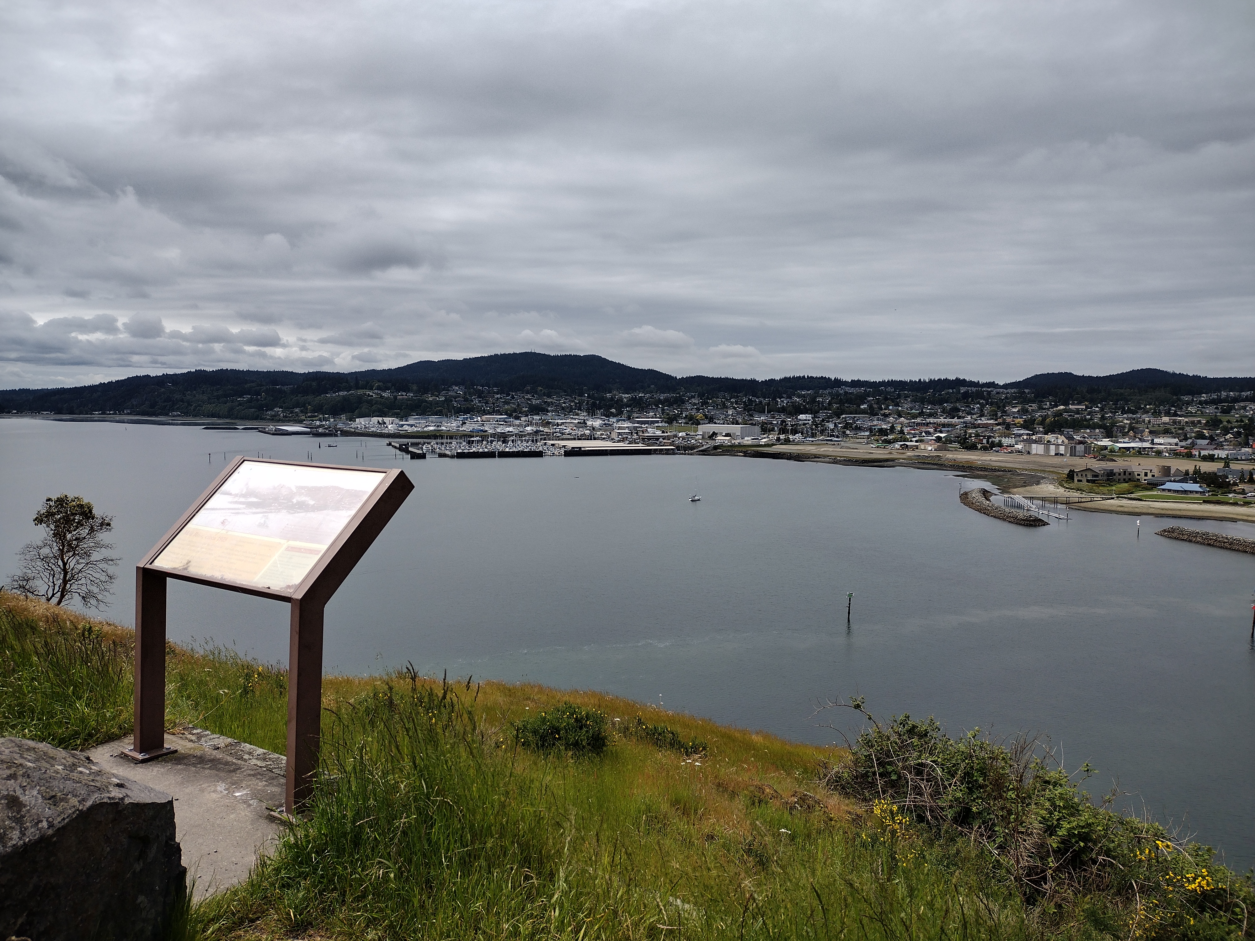
Back then I would walk or ride my bike on the flat land around downtown, looking up to admire the rocky top of Cap Sante. On foot this time, I decided to climb up to the top - only a few hundred feet. I walked the paved pathway by the marina, out to a viewpoint below the bluff. A couple of short cement stairways lead uphill from the paved footpath, which I assumed logically would put me on a trail all the way to the top. But in the pandemic years, the steep hillside has been heavily used by some very enthusiastic frisbee-golf players. Much of the understory plants have been trampled, leaving large areas of bare dirt between the frisbee targets. Although it was hard to distinguish any particular path, I thought as long as I kept going up I would have to arrive at the top eventually. The hillside got steep enough that I had to look for footholds on roots and rocks, and catch on to tree branches for balance. Then I came to some cracked, jagged bare granite where I wedged my feet and fingers into vertical gaps, climbing twenty or thirty feet to the top of the rocks. Once there I scanned the view of the bay and the town, and also . . . a small parking lot with a bench and viewpoint marker. A narrow paved road goes up the far side of the bluff so you can just take the easy way and drive up to the top.
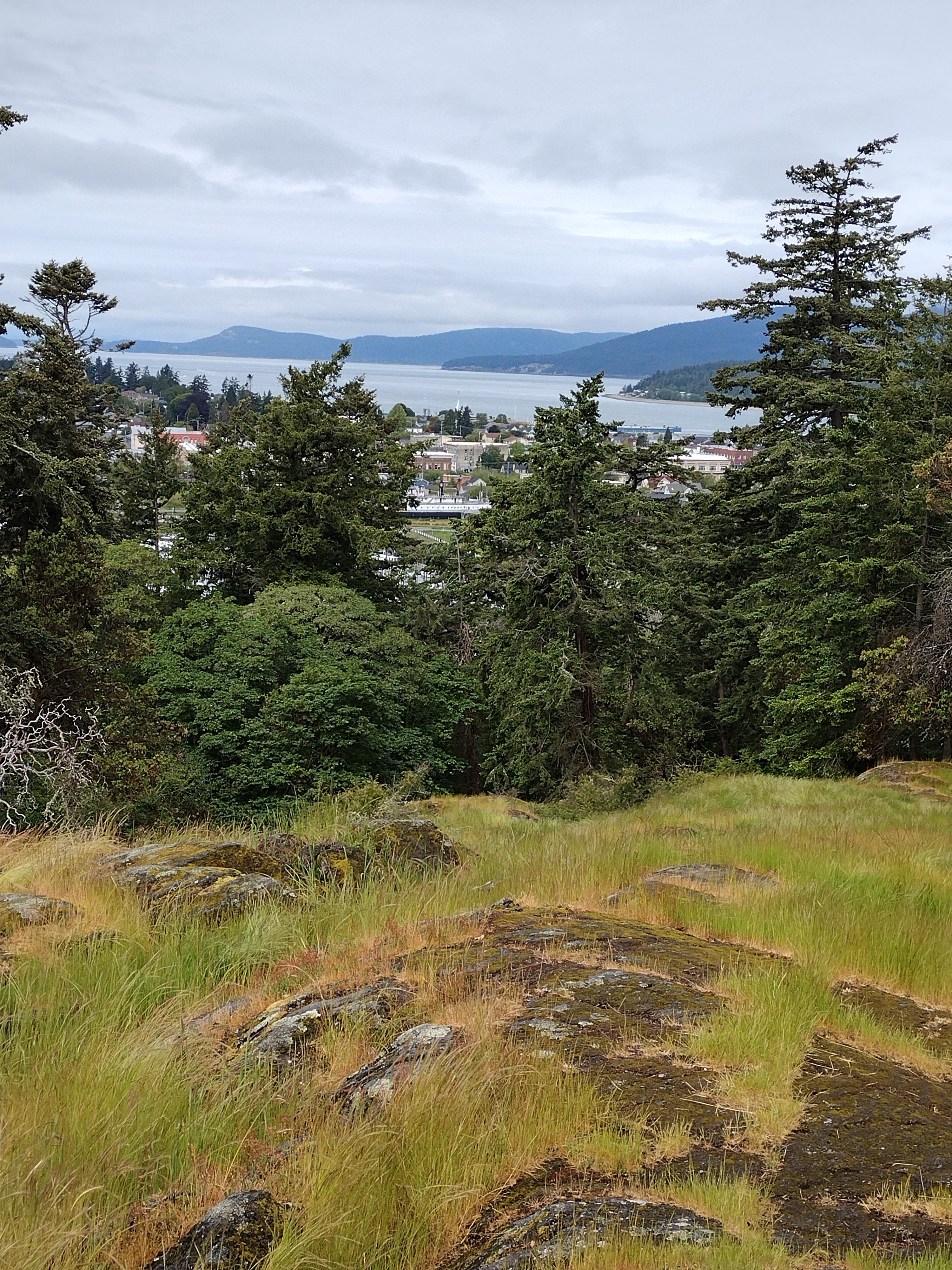
Panorama view from the top of Cap Sante:
I'd brought a map and compass with me, just to keep oriented, and was surprised to find that the town of Anacortes is actually south of the peak. The shoreline curves and winds around much more than it seems, at least if you're used to thinking in terms of highways running north-and-south.
After admiring the views and exploring around the rocky top of the bluff, I found a gravel trail leading downhill through the woods, which came out by the yacht club - a much easier route than the one I'd taken on the way up. From there I walked around the marina a bit more, then had a very filling fish & chips lunch at The Cabana - under an umbrella, because it was sprinkling a bit.
After lunch I headed (by car) toward the ferry terminal, but this time I followed the road that branches left away from the turn-off to the ferry loading area. I'd always been curious about what lay down this road when I passed through five years ago, but back then I was always too rushed or too tired to explore it by bicycle. The road leads to Washington Park, which has a nice beach area, perfect for Memorial Day family picnics. The sun was shining again, so I walked the beach a bit, and followed a paved road/trail through the park. Along the road there are pull-out areas just big enough for a car/camper, next to grassy waterside picnic areas. I think I walked a mile or two before turning back - it was hard to judge the distance around the whole park, but it would have been a good long hike, and my toes were blistering. Walking is a good alternative form of exercise and sight-seeing, and it's good to get a break from bicycling, and I'm glad I got to visit some places I'd missed on my bicycle trips. But I've only been riding about twice a week this spring, only 20-40 mile rambles on the weekend. I'm starting to feel a bit decrepit. It's time to start rehabilitating myself. As soon as the rain lets up.


No comments:
Post a Comment